Historical information on Spanaway, Spanueh Station of the Puget Sound Agricultural Company, and native uses of the area
Testimony for the Hearings Examiner on Pierce County Village, April 29, 2024
To local Indians, the area was referred to as “spáduwe” – “where [camas or fern] roots are plentiful”.[1] Multiple tribes used the area for hunting and gathering. Used by many, it was specifically claimed by none. (Cowlitz, Chehalis, Nisqually, Squaxin, Sequalitchew, Steilacoom, Puyallup, Yakima, and more)
The community of Spanaway began with the siting of the Puget Sound Agricultural Company (PSAC) cattle station near “Spanueh Lake.” The station was originally referred to as Montgomery’s Place, when John Montgomery first arrived there around July of 1845. (predating Steilacoom) Montgomery had learned animal husbandry from an older member of the Hudson Bay Company (HBC) who was a trained agriculturalist, James Steel. Montgomery became quite renowned locally for his cattle husbandry and butchering practices.
The name of the community was changed to Spanueh Station (Anderson) around 1847. Phonetically, it was Anglicized by Dr. Tolmie.
PSAC’s sheep “parks” and cattle “stations” dotted the prairies of Pierce County. This map was found in the HBC Archives in Manitoba. The top is East, North is to the left.

The importance of this map is significant to the early history of Spanaway and the site chosen for this development.
It shows early names of the sites, Spanueh Lake (Spanaway Lake), Osprey Lake (Spanaway Marsh), Cow Swamp (straddling Spanaway Loop Road), Narrow Lake (Between Spanaway Loop and Perimeter Road at 159th to 155th St).
It shows the military road as “from Wallawalla” and is located to the south of Spanaway Lake. This means the current road extending from Spanaway loop Road is the original Military Road from Fort Walla Walla. It was the original trail into the area for the local natives as well.
It also shows that road extending westward to Fort Nisqually, about 10 miles away. Just after the road enters JBLM, it splits.
To the North, it goes to another PSAC Farm called Sastuk (between McChord Field and the Shibig Farm) and to the South it goes to Muck Station (in the Eastgate area).
In this lower map, North is at the top. You can see how directly West of Spanaway Fort Nisqually Site 1 (1833) and Site 2 (1843) were located.

Before 1915, all of this area was farms. Pierce County, in deciding to get a military base located in the vicinity, condemned this large area, dislocated the families, and removed the cities of Hillhurst and Greendale. Prior to the Adam Benston lived on the site and the road that had gone to Fort Nisqually, went to Hillhurst, Tillicum, and Dupont.
At the top of the hill, just before the road curves to the right, on the South side (JBLM) was the Whittier School. This school was started around 1856, the same as the Spanaway School. It is said the building was moved and become the original Catholic Church in Spanaway.
Also historically, the map of 1854, commissioned to help delineate the holdings of the Hudson Bay Company that Pierce County and the State of Washington were required to purchase back from the company when it became part of the United States and not a potential territory of Great Britain, shows a very large watershed has been part of the area between Roy and Spanaway Lake for a considerable period of time.

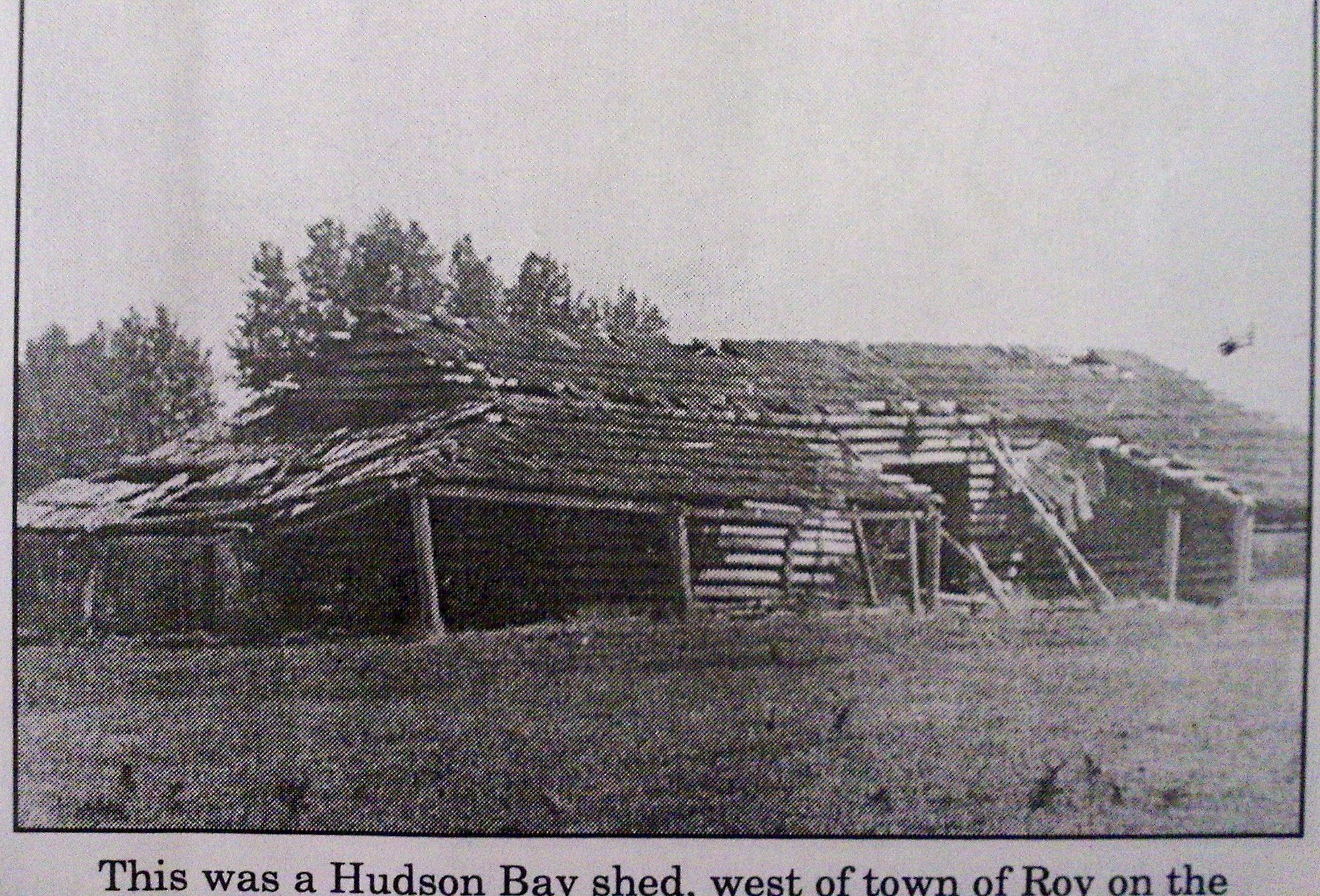
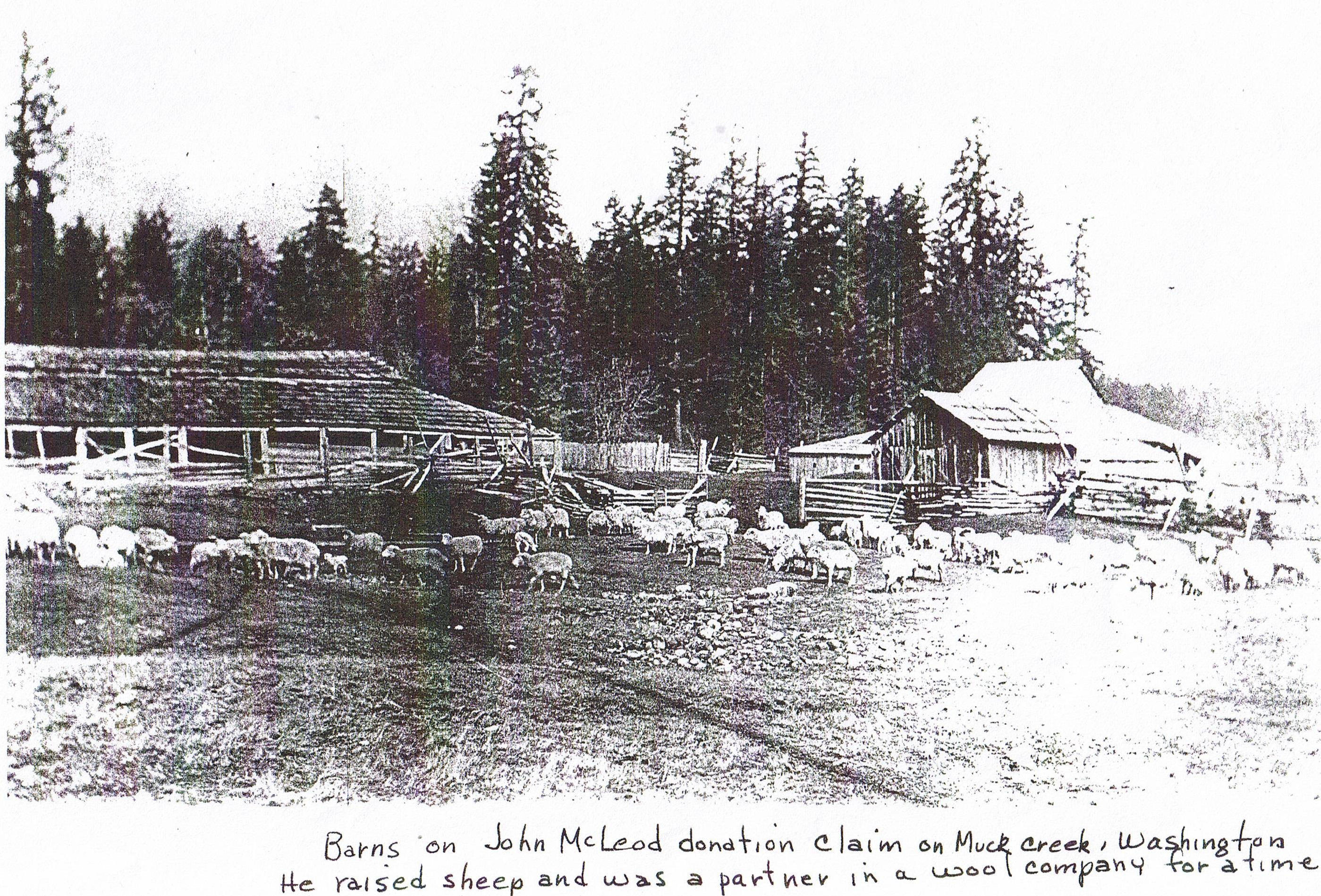
These are examples of barns of the PSAC. There is no known photo of the barns at Spanueh Station. The left, West of Roy was S’Gukquas Farm. The right is the McLeod farm.
As a Federally established Sole Source Aquifer, the prairie of Pierce County relies on the underground water and only rainfall to replenish it. Excessive removal of trees and replacing it with paved surfaces, particularly in a sensitive watershed is a very bad idea. Anyone who had seen this area also understands why so many of us prefer to preserve it as natural and would love it as a park. Myself, I have taken nature walks there on many occasions, including times when to road was flooded and not passable.


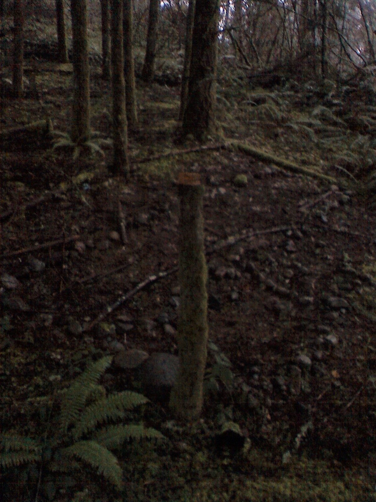
Also, while visiting several years ago, I saw along a path, there were rocks placed as if there were something demarcated on the hillside that the planners are talking about developing first. I am not sure what it is, but it is not beyond reason to expect that near such a historical trail, there may be artifacts or a burial ground.

I was very involved with the Cross Base Highway Project, as was my mother before me. After years of investigating and the writing on a full Environmental Impact Statement, followed by a Supplemental Environmental Impact Statement, the community was promised a much needed roadway to reach the I-5 freeway corridor. There was a ground breaking and another ribbon cutting. Yet, there is still no highway. That highway, although passing through this area, would not have done near the damage as placing a development of 288 housing units and various support building and roads. It is absolutely stunning that something that much more devastating to the land, was passed out of our County Planning Department with no more than a Determination of Non Significance. I sense there has been pressure on the staff to comply to make this a reality, not to make this a fair review of the actual circumstances.
I know this was proposed by a County Executive that wants to see significant Federal dollars come to the County, a County Executive that was a developer himself. Much of the planning was completed before the public was even told about the project. That was another irritating mistake or miscalculation on the County’s part; it makes me extremely uncomfortable. Yet, we, the average citizens only recourse, is to raise hundreds of thousands of dollars to take the case up the chain of the court system. I know they are counting on us not being able to afford the effort we need to stop them, but we need to stop them. I know, I helped stop a County Executive before, from ruining our County with fluoride in the water. It is seriously, and unreasonably expensive for an unincorporated community to make their point that it will ruin too much of the community character, history and contribute to the devastation of natural resources.
This entire project should be located somewhere else that is not a wetland. The sensitive historical significance, British and Indian, as well as the potential watershed damage, is far too much for this historic community to lose.
I have been the historian for the Descendants of Fort Nisqually Employees Association. I am President of the Spanaway Community Association and editor of their online local news, the PiercePrairiePost.com. I helped build a private Chapel in the Women’s Corrections Center and wrote the grant that secured a skate board park at Sprinker Recreation Center. I am a Board member of the local Kiwanis, the Chambers Clover Creek Watershed Council and the Clover Creek Restoration Action Alliance. I have seen too much damage to this area and its water resources. I stand in favor of stopping the madness and changing course to ensure our precious natural resources are here for all our generations to come.
Thank you for your time.
Marianne Lincoln
[1] University of Washington – Nils Thompson Papers. Spanaway: s-√pəd-əd+i > spədədəwe > spáduwe= ‘dig’ (nominal marker) + ‘plant’ (transitive or intentional marker).

Did I read that there maybe native American artifacts on the property?
Have the tribal leaders given their opinion?
i was at the walk on Saturday and learned and saw so much including an eagle’s nest!